
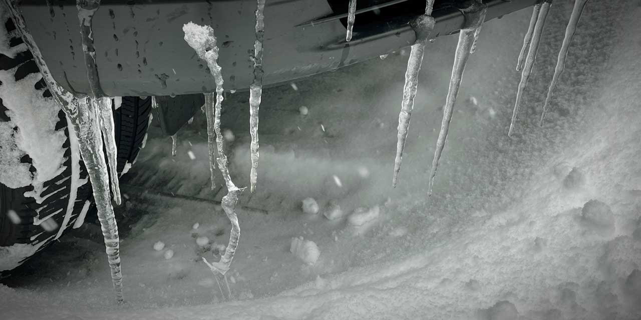
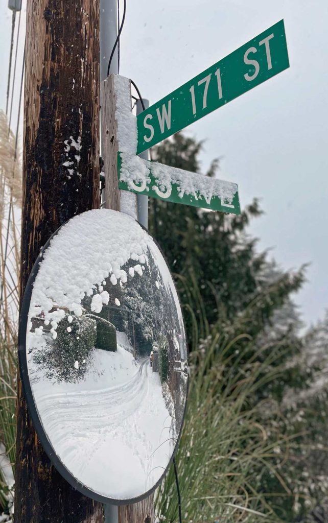
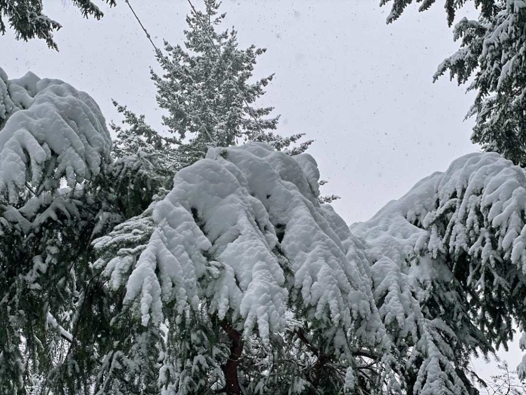
A beautiful, bountiful coating of snow fell over the region starting Friday night, Feb. 12, and is expected to continue through Sunday night before turning to slush and rain.
Measurements of between 8-10+ inches of the white stuff fell, creating a wonderful Valentine’s winter wonderland.
The National Weather Service says that Friday and Saturday’s snowfall ended up as the 15th highest over 125 years of records for snow totals over two consecutive days:
Here is a list of the 2 consecutive days 10 inch plus snow events since weather records started in Seattle in the 1890’s. Friday and Saturday ended up with the 15th highest 2 consecutive days snow total in over 125 years of records. #wawx pic.twitter.com/DnVINtLa4y
— NWS Seattle (@NWSSeattle) February 14, 2021
The Seattle Weather Blog says 8.9 inches fell at Sea-Tac Airport on Saturday, which was the fifth-snowiest single day there and the most on one day since 1969 when nearly 15 inches fell:
❄️SNOWIEST SEATTLE DAY IN 52 YEARS! ❄️
?8.9” of snow fell at Sea-Tac today
?That’s tied for 5th-snowiest day on record at the airport
?Snowiest day since Jan. 27, 1969
?Total storm snowfall is 11.1” (2.2” yesterday) pic.twitter.com/X4iyI6S1aT— Seattle Weather Blog (@KSeattleWeather) February 14, 2021
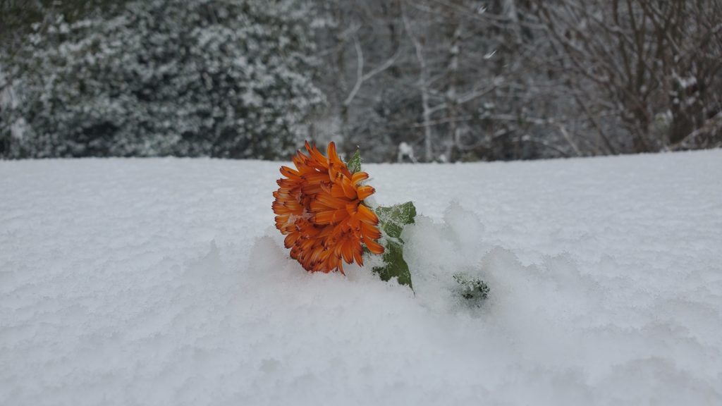
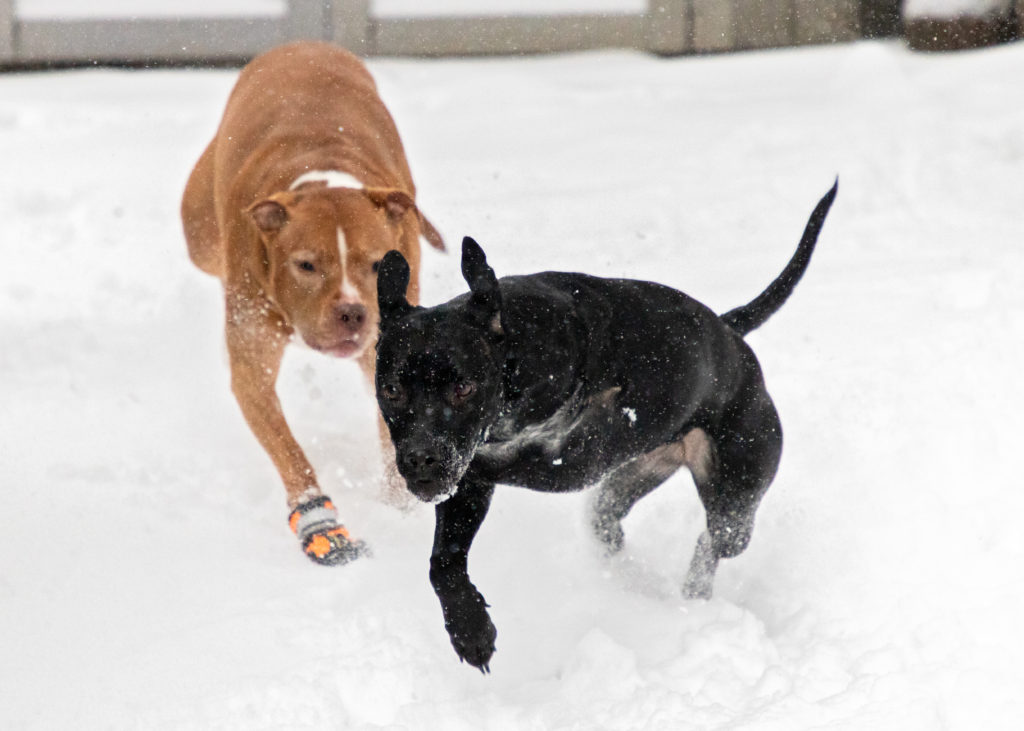
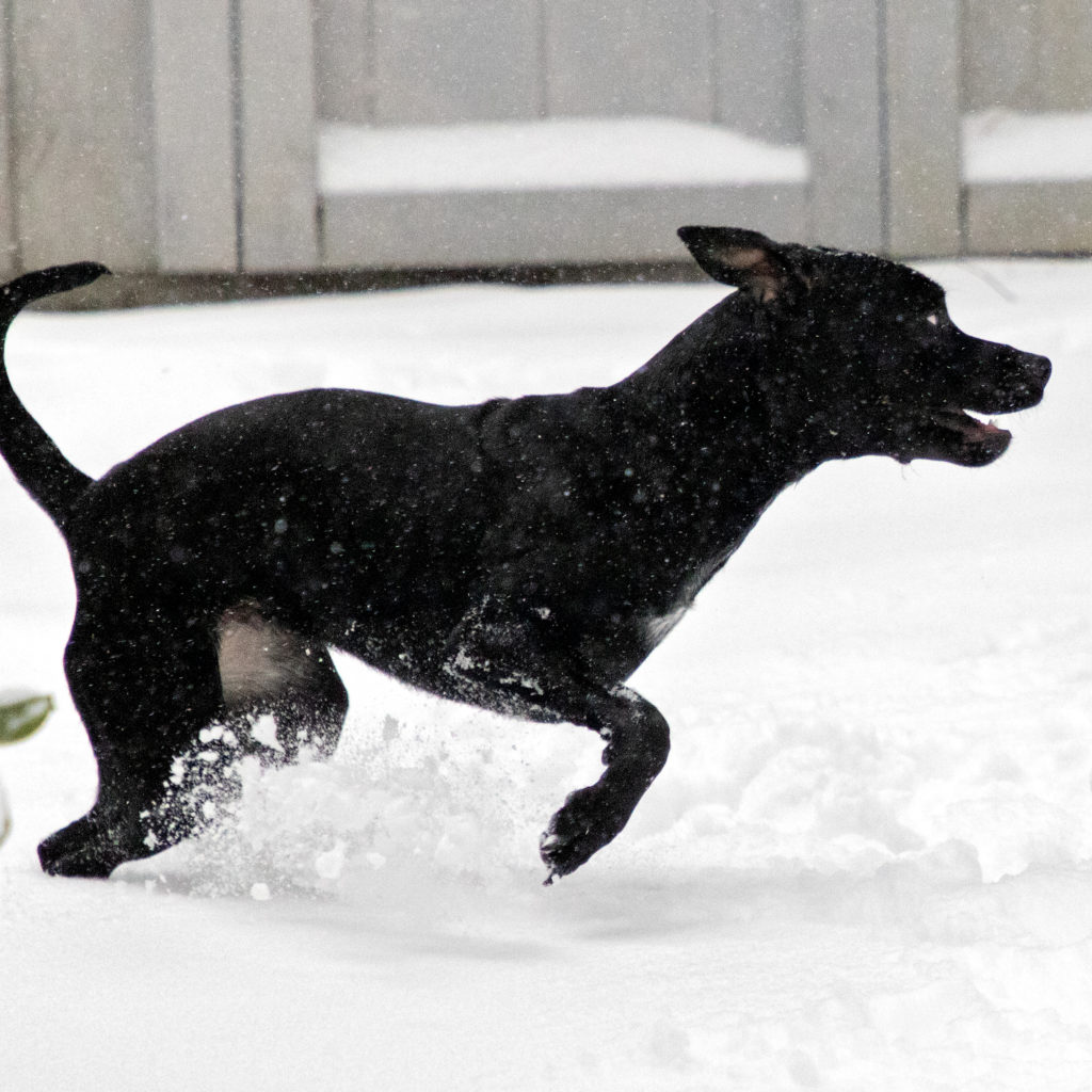
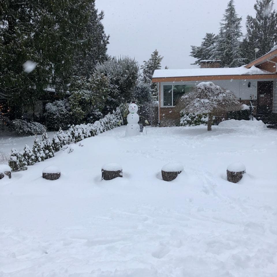
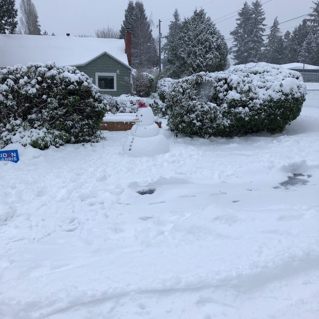
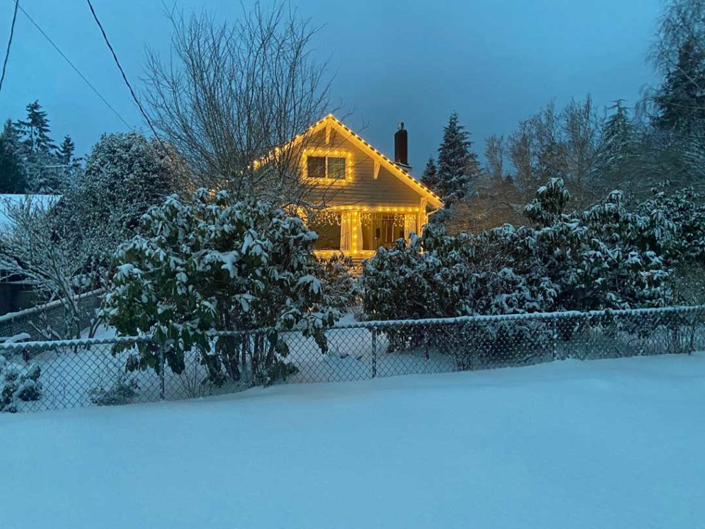
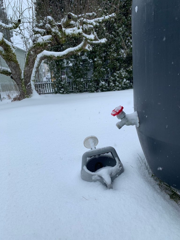
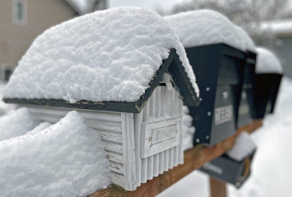
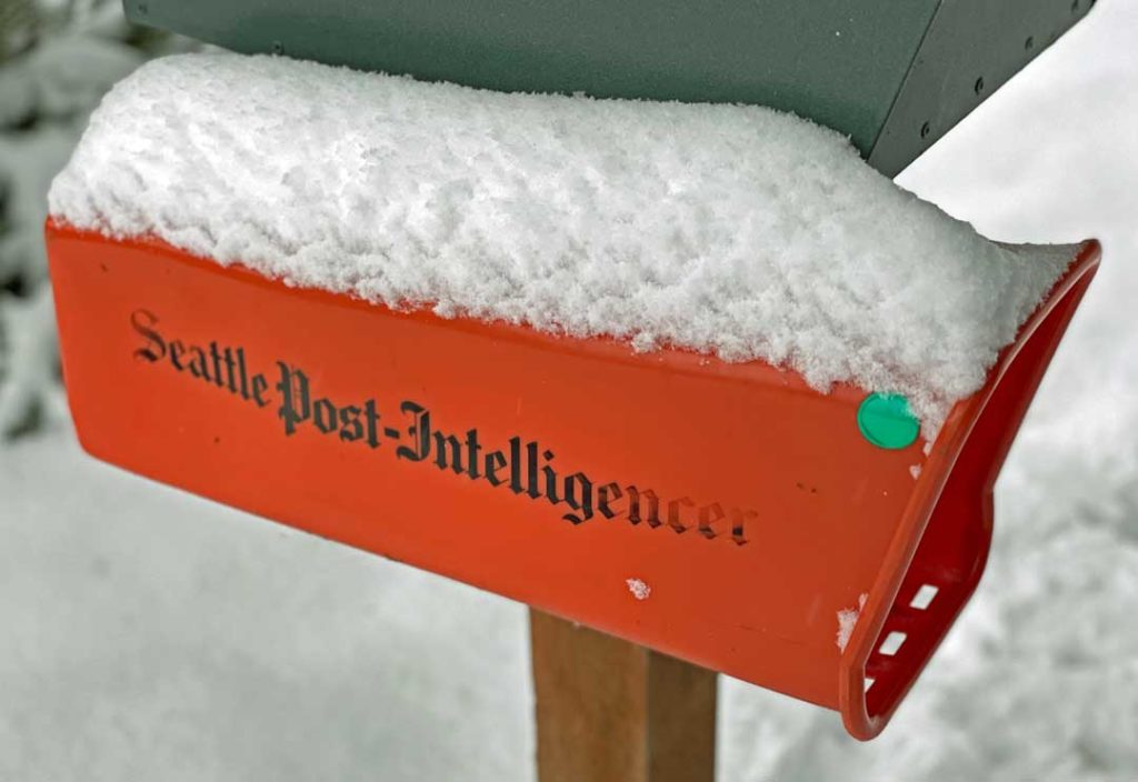
Below are some photos from Readers; if you have one to share, please email a medium/high-res version of at least 1080 pixels wide to editor@b-townblog.com!
First, courtesy Yelena B: “Here’s a flower weathering the snow in my backyard. This flower patch has been in bloom since October. But will it survive snow entombed by the snow?”
Next, courtesy Cian Fenton: “I think it’s safe to say that our three-legged rescue dog from Texas is enjoying her very first snow! (And playing snow tag with her big sis.)”
Courtesy Megan Myerski:
Courtesy the Swain family:
Courtesy Eric Dickman & Maggie Larrick of BAT Theatre:
Courtesy Emily Inlow-Hood: “Snow in my backyard is one watering can high.”
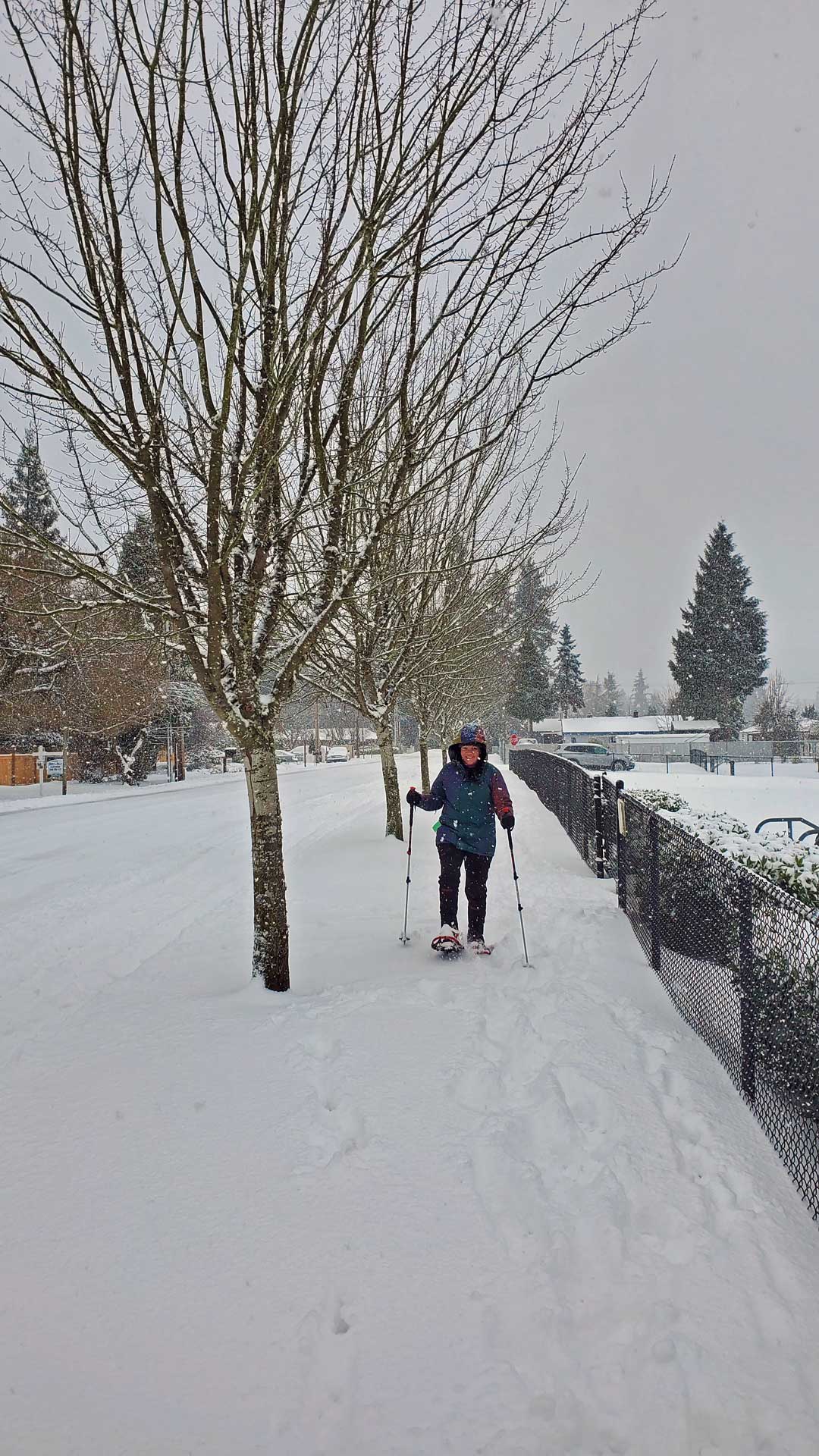
Courtesy David Shimp comes this pic of snowshoeing in the neighborhood:
Courtesy Rasheed:
@btownblog snow angel ? pic.twitter.com/vcy6atCTxM
— Rasheed (@ReformedCFO) February 14, 2021
From South King Fire & Rescue:
Even a snowman at SKFR station 64 is taking precautions and using PPE during this snow event. pic.twitter.com/jm9PXDfcaP
— South King Fire (@Southkingfire) February 14, 2021
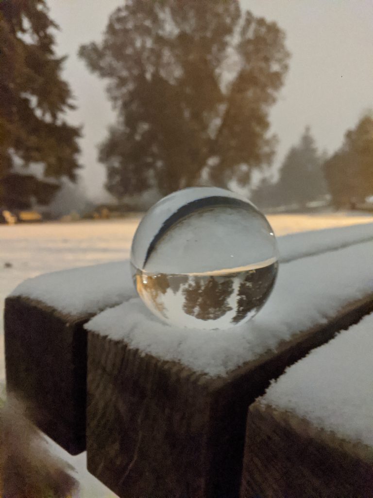
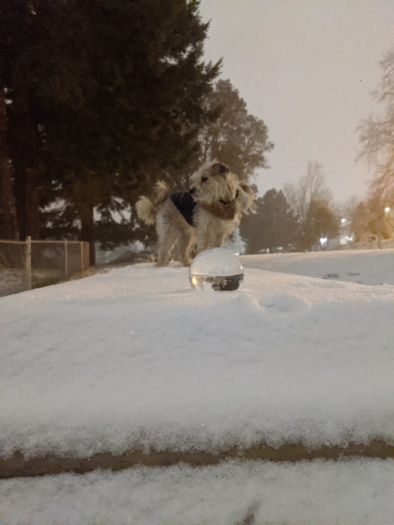
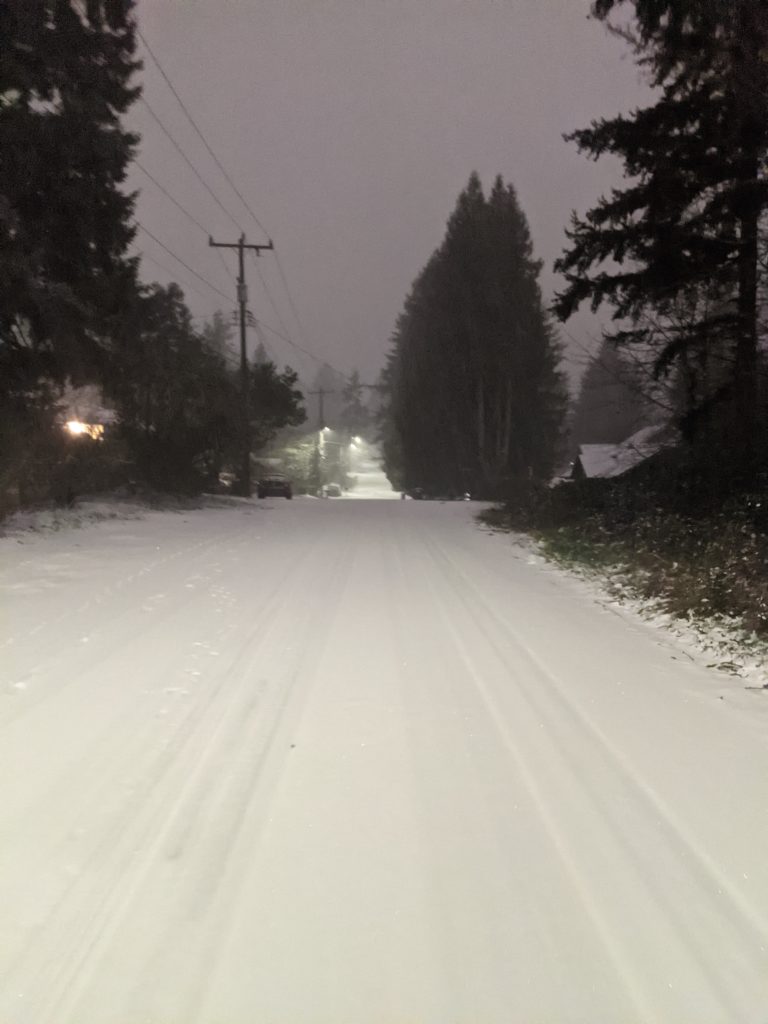
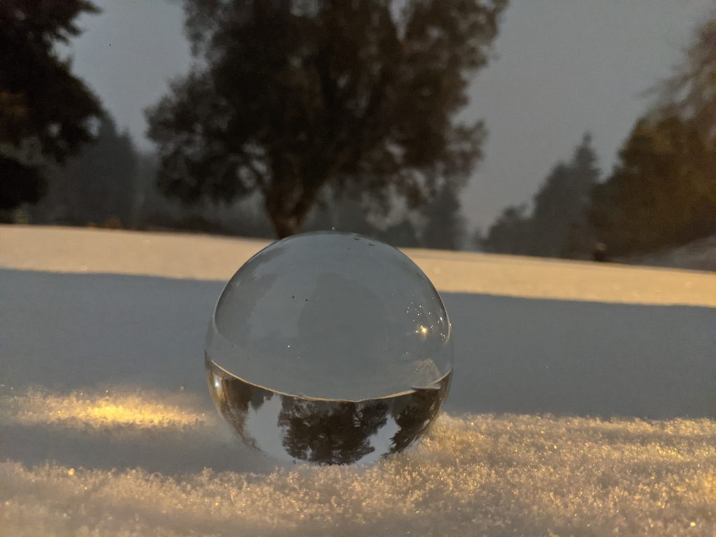
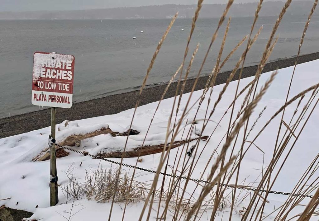
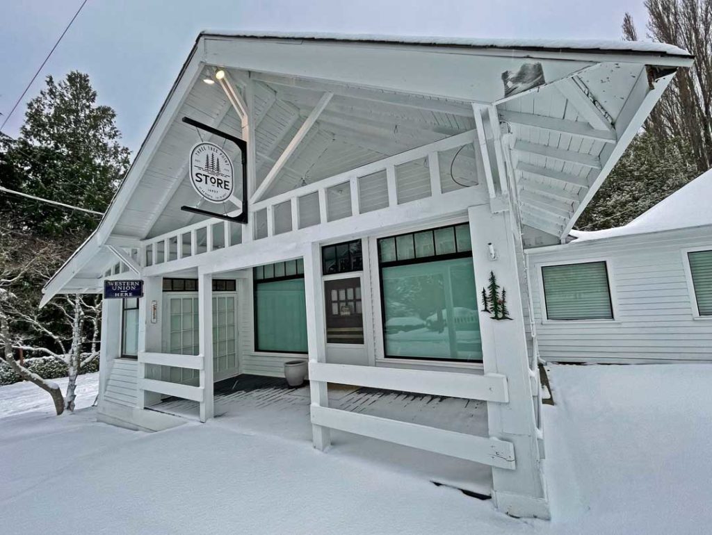
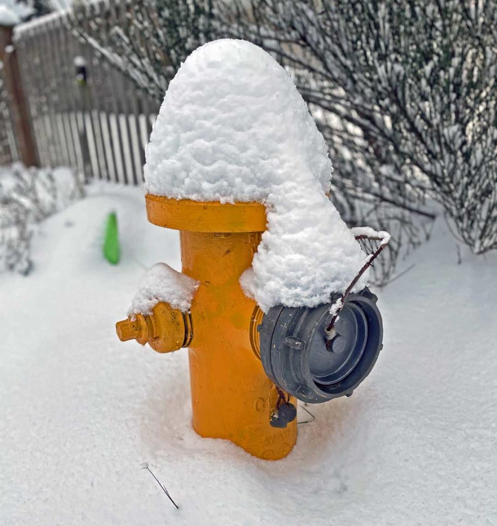
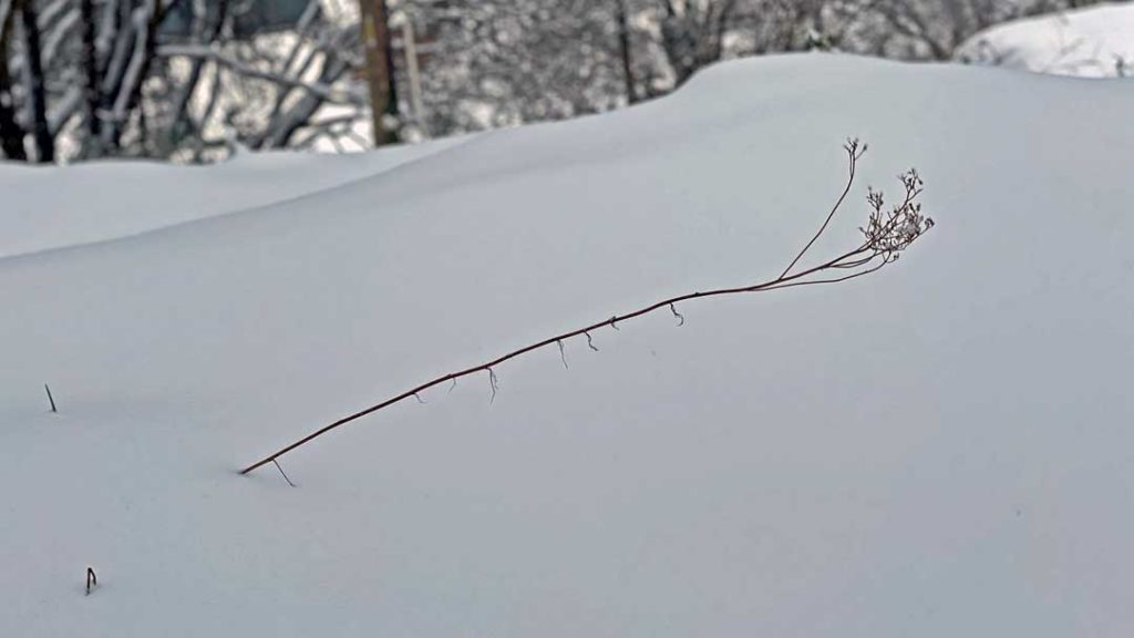
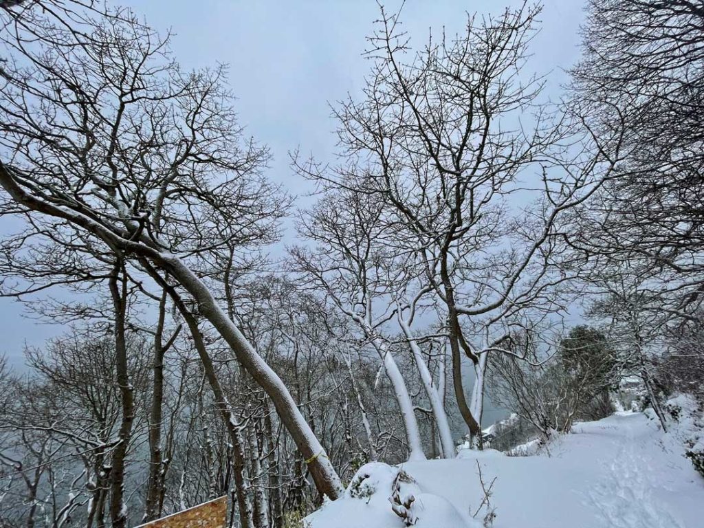
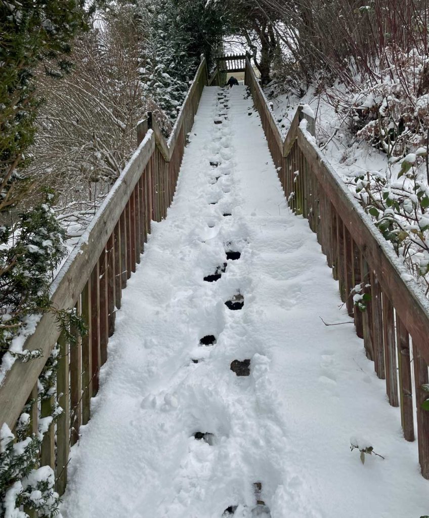
And some photos taken by Publisher/Editor Scott Schaefer during a walk around Three Tree Point:
From Instagram:
Despite the wintry weather, Sea-Tac Airport remained in operation:
Here’s a detailed forecast from the National Weather Service:
-
- Saturday Afternoon: A 20 percent chance of snow showers. Cloudy, with a high near 30. Wind chill values between 19 and 24. South wind around 8 mph.
- Tonight: A 30 percent chance of snow showers, mainly after 10pm. Mostly cloudy, with a low around 27. Wind chill values between 18 and 23. East southeast wind around 9 mph. New snow accumulation of less than a half inch possible.
- Sunday: Snow likely, mainly after 10am. Cloudy, with a high near 35. Wind chill values between 20 and 29. East southeast wind around 8 mph. Chance of precipitation is 70%. New snow accumulation of less than one inch possible.
- Sunday Night: Rain and snow, possibly mixed with sleet before 1am, then rain and snow between 1am and 4am, then rain and snow, possibly mixed with sleet after 4am. Low around 35. Southeast wind around 8 mph. Chance of precipitation is 90%. Little or no snow and sleet accumulation expected.
- Monday/Washington’s Birthday: Rain and snow, possibly mixed with sleet before 7am, then rain and snow between 7am and 10am, then rain after 10am. High near 39. Southeast wind around 7 mph becoming south southwest in the afternoon. Chance of precipitation is 90%. Little or no snow and sleet accumulation expected.
- Monday Night: Rain. Low around 36. Chance of precipitation is 80%. New precipitation amounts between a tenth and quarter of an inch possible.
- Tuesday: Rain likely, mainly before 10am. Mostly cloudy, with a high near 44. Chance of precipitation is 60%.
- Tuesday Night: A chance of showers before 10pm. Mostly cloudy, with a low around 36.
- Wednesday: A chance of rain after 4pm. Mostly cloudy, with a high near 44.
- Wednesday Night: Rain likely, mainly after 10pm. Mostly cloudy, with a low around 38.
- Thursday: Rain. Cloudy, with a high near 46.
- Thursday Night: Rain likely. Mostly cloudy, with a low around 40.
- Friday: Rain. Mostly cloudy, with a high near 47.
- Friday Night: Rain. Mostly cloudy, with a low around 39.
- Saturday: Rain likely. Mostly cloudy, with a high near 46.