
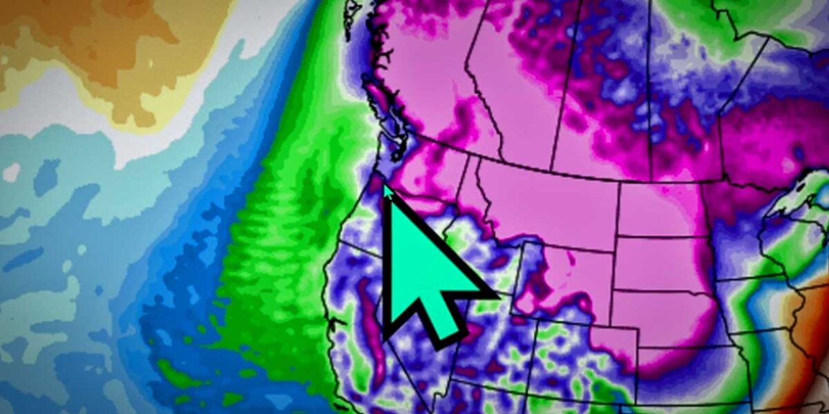
Another cold front is moving in, and there’s a chance of lowland snow this coming week, according to the National Weather Service.
“Colder temperatures will start to affect the region into the middle of next week with light lowland snow possible,” forecasters said.
Lows are predicted to dip down to 24 on Thursday night, Feb. 23, and the best chance of snow could be Tuesday night through Wednesday. Another dusting of the white stuff could also happen on Friday, so stay tuned…
Burien’s Severe Weather Shelter is expected to open Wednesday night, Feb. 22, and donations and volunteers are still needed – read how you can help here.
Winds are also expected to pick up as the system moves in, so you might want to batten down those blue tarps, B-Town.
Video
Here’s @SeattleWXGuy Michael Snyder’s latest forecast (subscribe to his YouTube channel here):

Detailed Forecast:
- Sunday: Rain likely, mainly after 3pm. Cloudy, with a high near 48. South southwest wind 7 to 15 mph, with gusts as high as 20 mph. Chance of precipitation is 60%. New precipitation amounts of less than a tenth of an inch possible.
- Sunday Night: Rain likely, mainly after 11pm. Cloudy, with a low around 45. South southwest wind around 11 mph. Chance of precipitation is 70%. New precipitation amounts of less than a tenth of an inch possible.
- Monday: Rain. High near 48. South southwest wind 14 to 17 mph, with gusts as high as 23 mph. Chance of precipitation is 90%. New precipitation amounts between a tenth and quarter of an inch possible.
- Monday Night: Rain. Low around 40. Breezy, with a southwest wind 25 to 28 mph, with gusts as high as 41 mph. Chance of precipitation is 90%. New precipitation amounts between a tenth and quarter of an inch possible.
- Tuesday: Rain. High near 46. Southwest wind 10 to 18 mph, with gusts as high as 29 mph. Chance of precipitation is 80%. New precipitation amounts of less than a tenth of an inch possible.
- Tuesday Night: A chance of rain before 10pm, then a chance of rain and snow. Mostly cloudy, with a low around 33. Chance of precipitation is 50%. New snow accumulation of less than a half inch possible.
- Wednesday: A 30 percent chance of snow, mainly before 4pm. Mostly cloudy, with a high near 38. New snow accumulation of less than a half inch possible.
- Wednesday Night: A slight chance of snow before 10pm. Mostly cloudy, with a low around 26.
- Thursday: Partly sunny, with a high near 35.
- Thursday Night: Mostly cloudy, with a low around 24.
- Friday: A slight chance of snow. Partly sunny, with a high near 37.
- Friday Night: A chance of rain and snow. Mostly cloudy, with a low around 31.
- Saturday: Rain and snow. Mostly cloudy, with a high near 41.